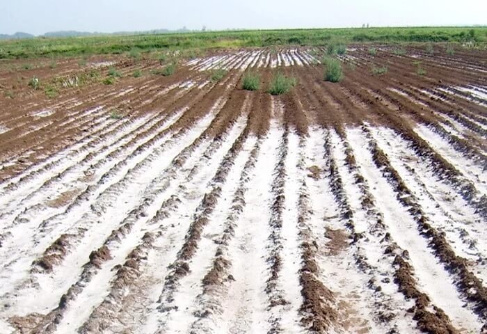
The Food and Agriculture Organization of the United Nations (FAO) conducted an online training on mapping of saline lands in Turkmenistan on April 26-28.
The three-day workshop was organized in the framework of the project from the FAO and Global Environment Facility (GEF) “Integrated Natural Resources Management in Drought-prone and Salt-affected Agricultural Production Landscapes in Central Asia and Turkey” (CACILM2).
More than 40 representatives of state organizations and departments of Turkmenistan, representatives of provincial administrations and the Union of Industrialists and Entrepreneurs of Turkmenistan took part in the event.
The aim of the workshop was to introduce participants to saline land mapping methods using GIS (Geographic Information Systems) technologies. The Global Soil Partnership specialists briefed the training participants on implementation of modern methods and remote sensing to assess soil salinity in real time.
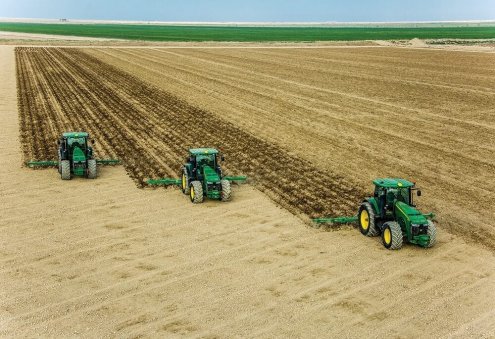
The CACILM-2 regional project in Turkmenistan has been successfully continuing with activities aimed at promoting and using advanced methods and technologies for the sustainable land and water resources management. Their implementation is expected to contribute to improving the socio-economic level of local rural communities.
Launched in May 2018, the CACILM-2 project with a budget of over $75 million is one of the largest sustainable natural resource management initiatives co-financed by the governments of the participating countries.

